About Us
Who we are
Natural Resource Management (NRM) is the sustainable management of natural resources, including land, water, marine and biological systems, that underpins social, cultural, economic and environmental wellbeing for current and future generations.
South Coast NRM is a community based, independent, not-for-profit organisation that works with the community and stakeholders to maintain and improve a healthy and productive environment for the long-term benefit of communities within the South Coast region.
South Coast NRM is one of a collective of natural resource management organisations covering the whole of Australia that are committed to achieving positive social and economic outcomes and the sustainable long-term management of the natural environment.
The expertise and experience of South Coast NRM, and its stakeholders and partners, plays a vital role in informing funding and resource decisions and coordinating on-the-ground actions to effect positive change.
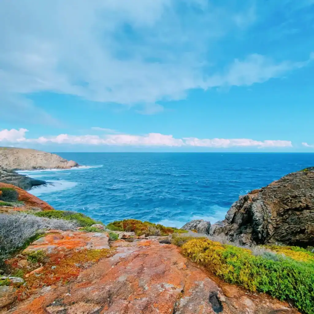

By bringing together and harnessing the collective expertise and capabilities of the communities of the region, South Coast NRM can play an important role in preserving and protecting the regions unique biodiversity, managing land and waterways sustainably, and sharing knowledge and skills in natural resource management.
Involvement with the communities of the South Coast plays an important role in setting strategic directions and ensuring projects and programs support the preservation and improvements of the unique and valuable landscape in which we live, work and enjoy.
The ongoing consultation with, and active support of, South Coast communities has been a foundation of the way South Coast NRM has continuously operated.
The South Coast Region
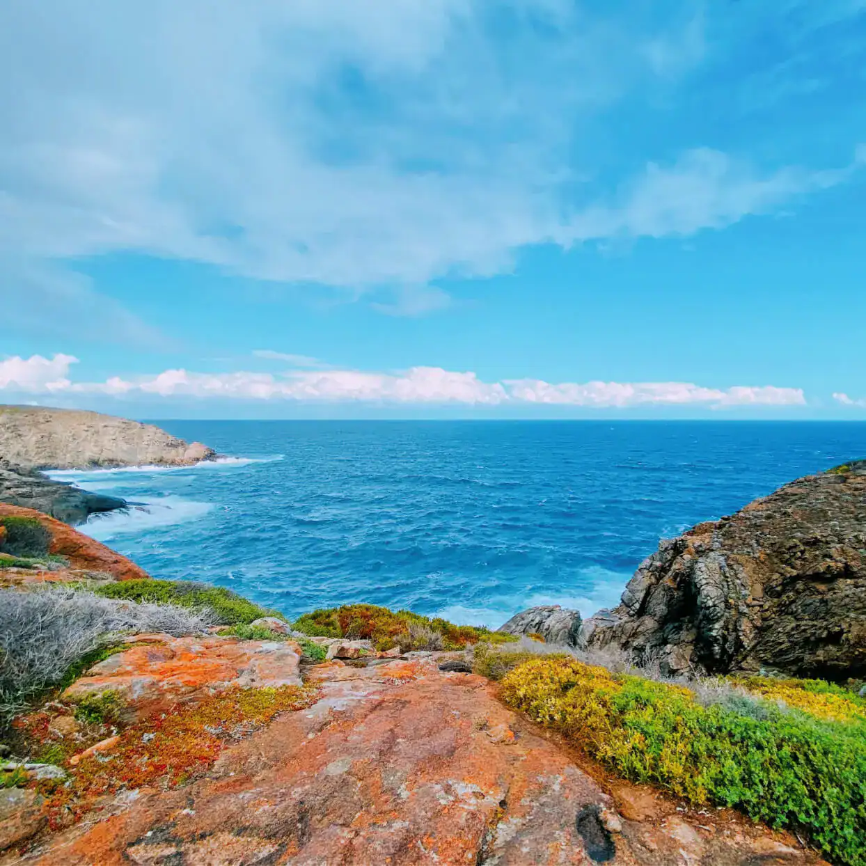
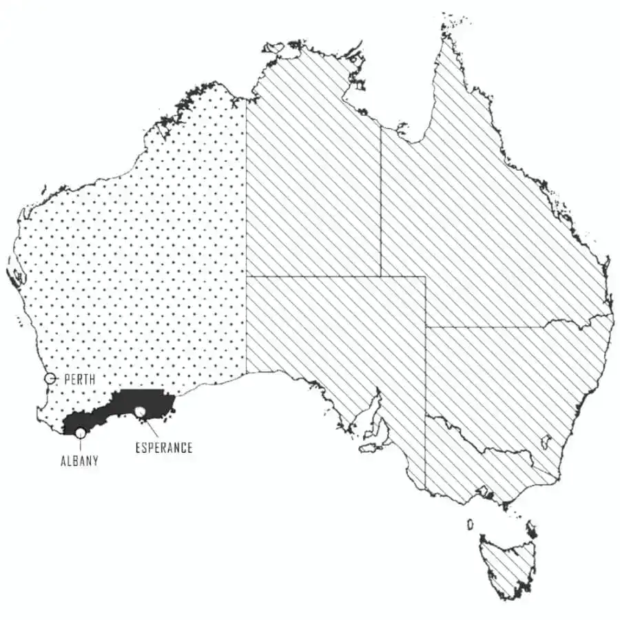
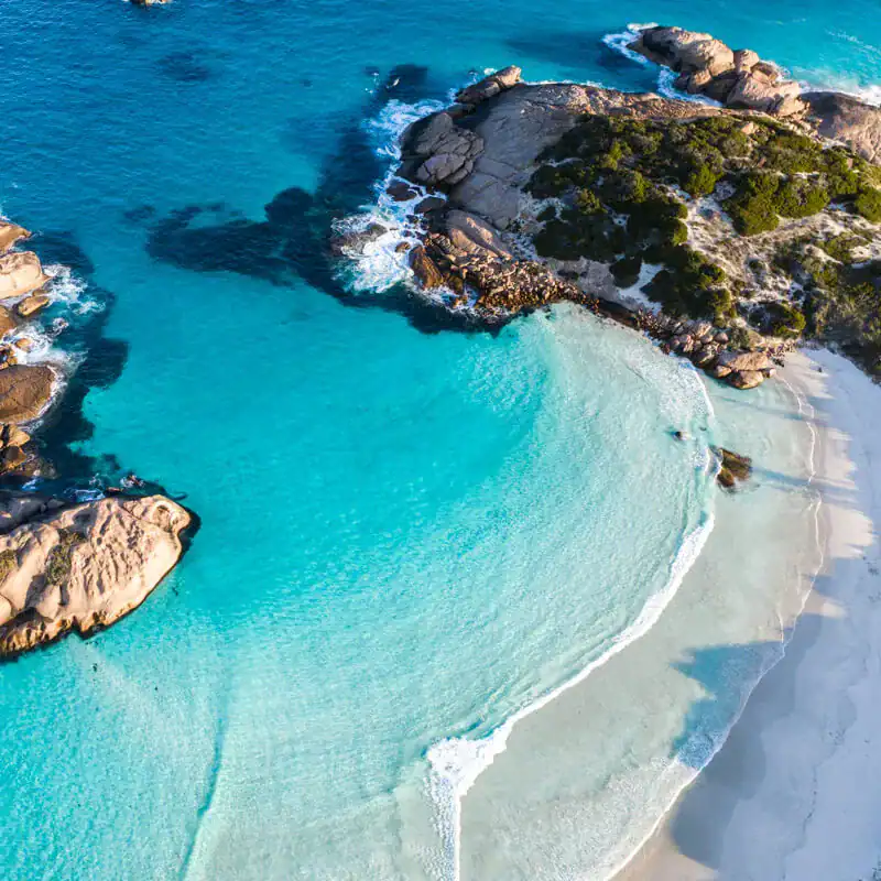
The South Coast region extends more than 8.6 million hectares across the southern coastline of Western Australia, together with 8000 hectares of islands and 1 million hectares of State waters out to sea.
From Walpole in the west to Cape Arid in the east, the region includes the catchment areas for all the southerly flowing rivers and some areas north of Albany and Esperance which drain internally.
It is a natural geographic region which began to form over 100 million years ago when Antarctica broke away from Australia.
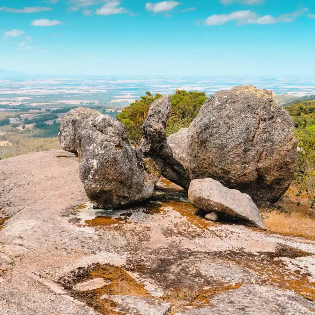
The South Coast region has mountain ranges with rocks more than 570 million years old, jarrah, marri, karri and mallee woodlands, salt lakes and an ancient sandplain to the south, formed 40 million years ago when inundated by ocean flooding.
Much of the inland areas have been cleared, with agricultural activities making up 70% of the region. They are an important part of the local economy, together with forestry, fisheries, mining, tourism and rural industries.
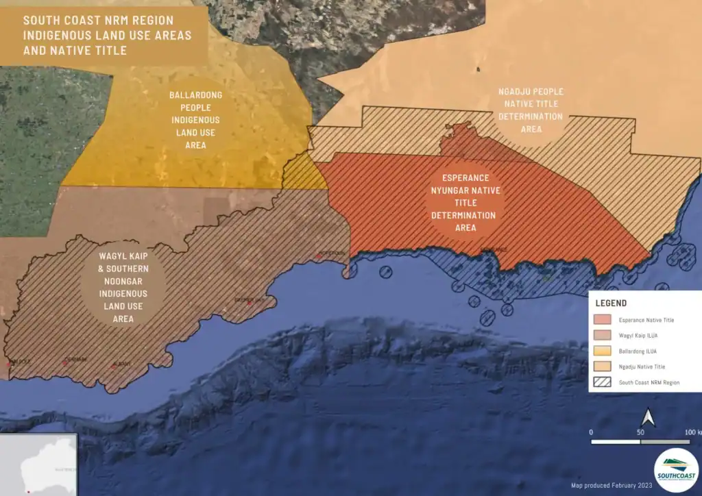
Albany and Esperance are the two major urban centres servicing the region and both centres have busy port facilities. The region has a rich Indigenous Cultural heritage with many recognised sites of importance to local Aboriginal people.
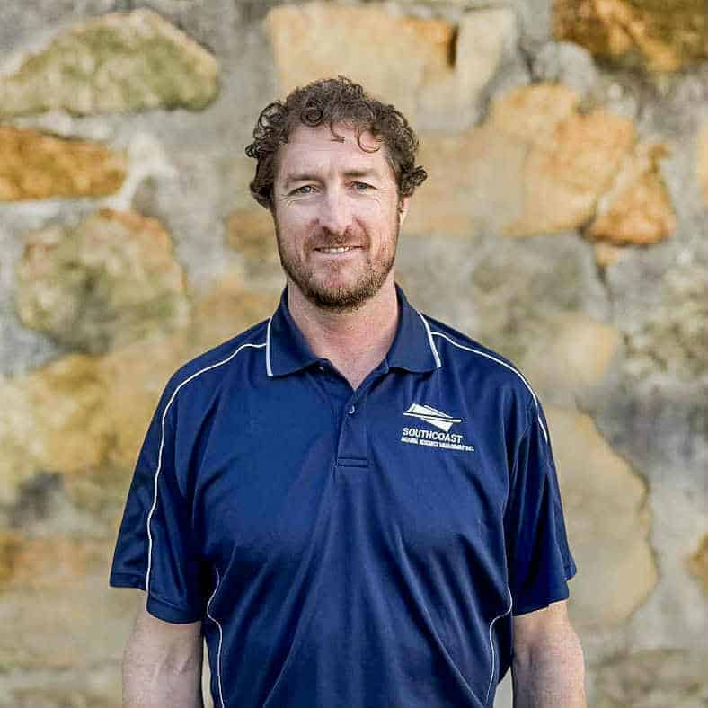
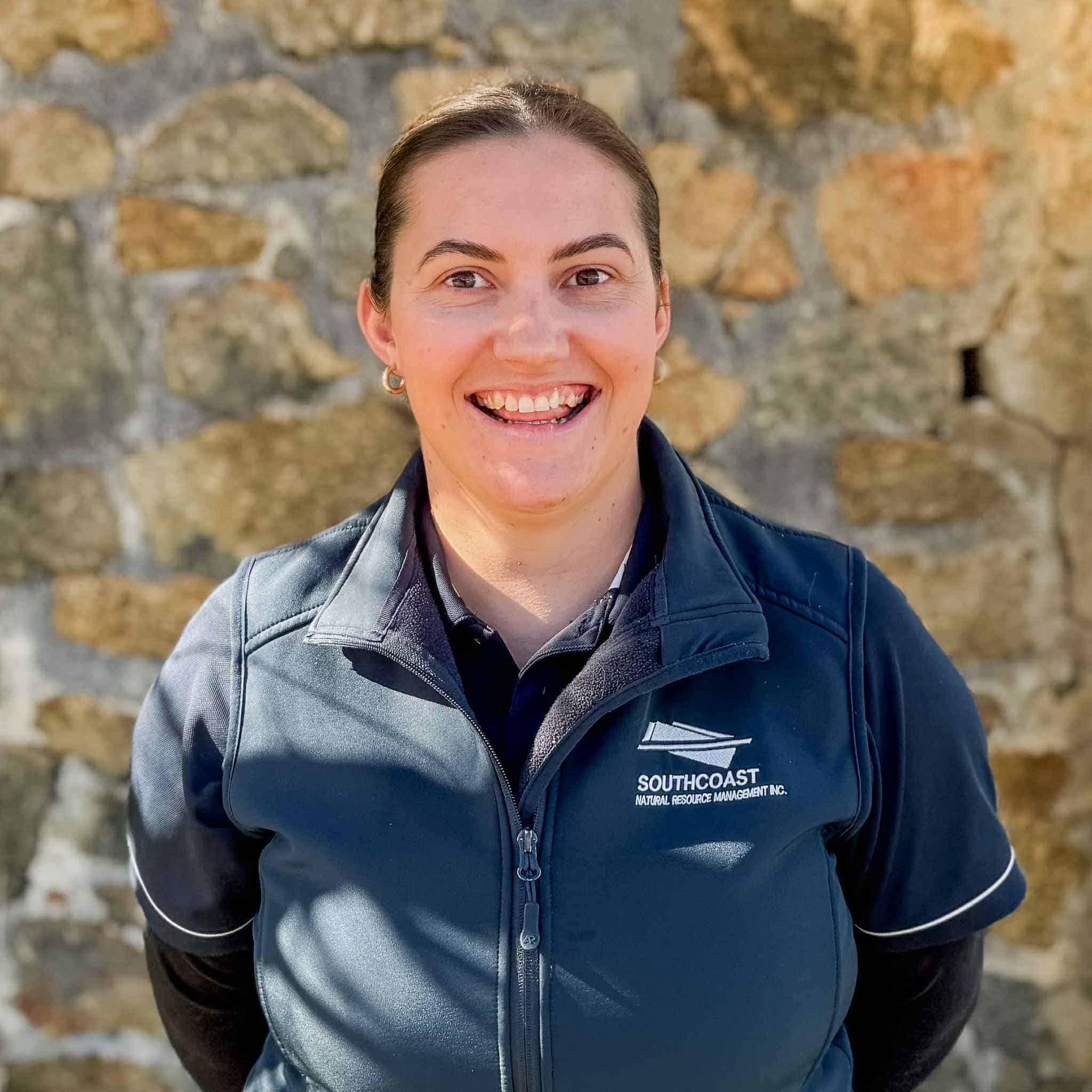
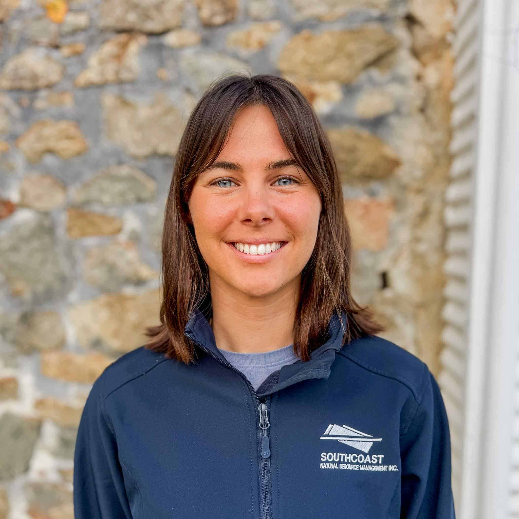
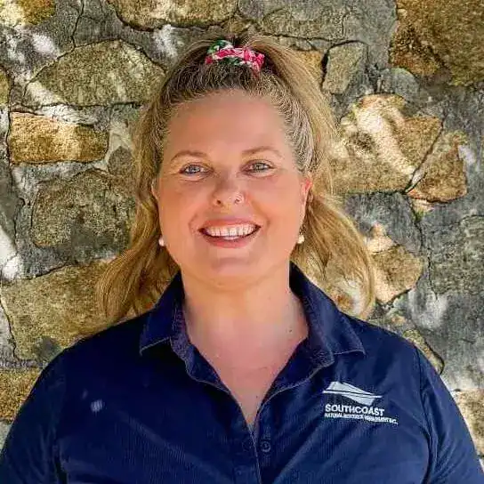
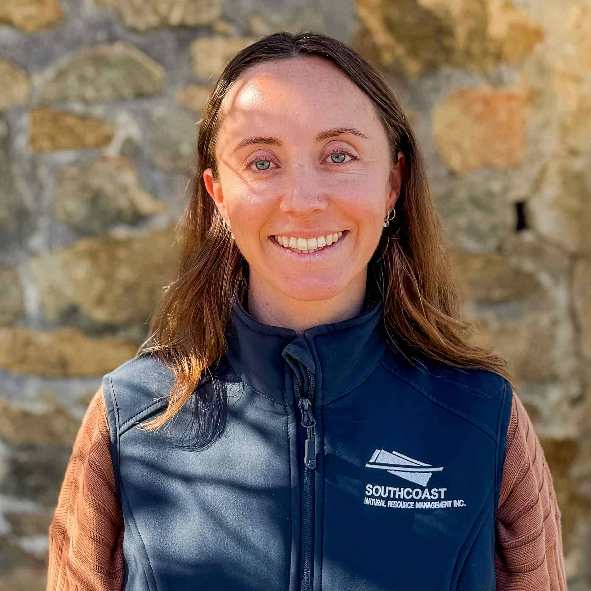
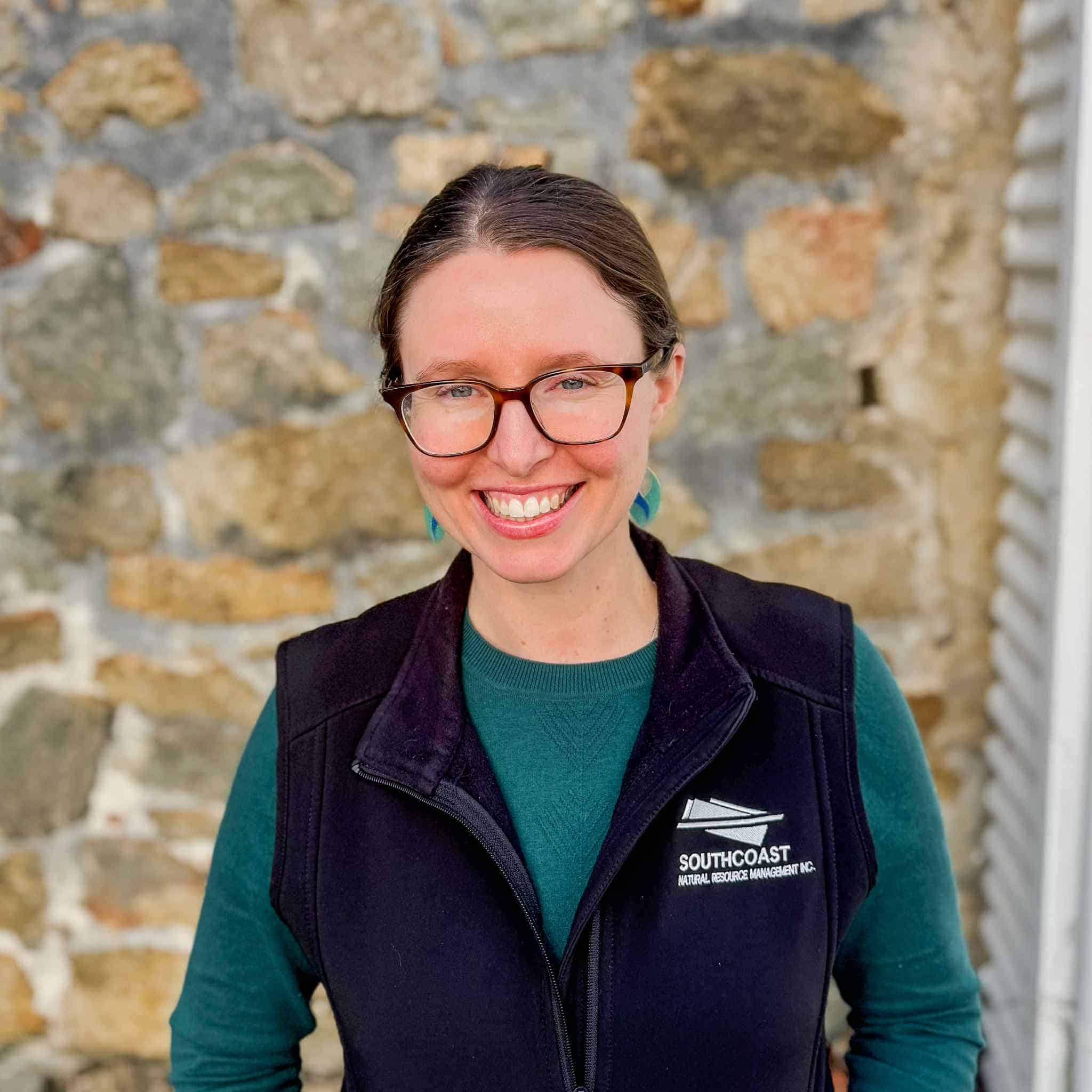
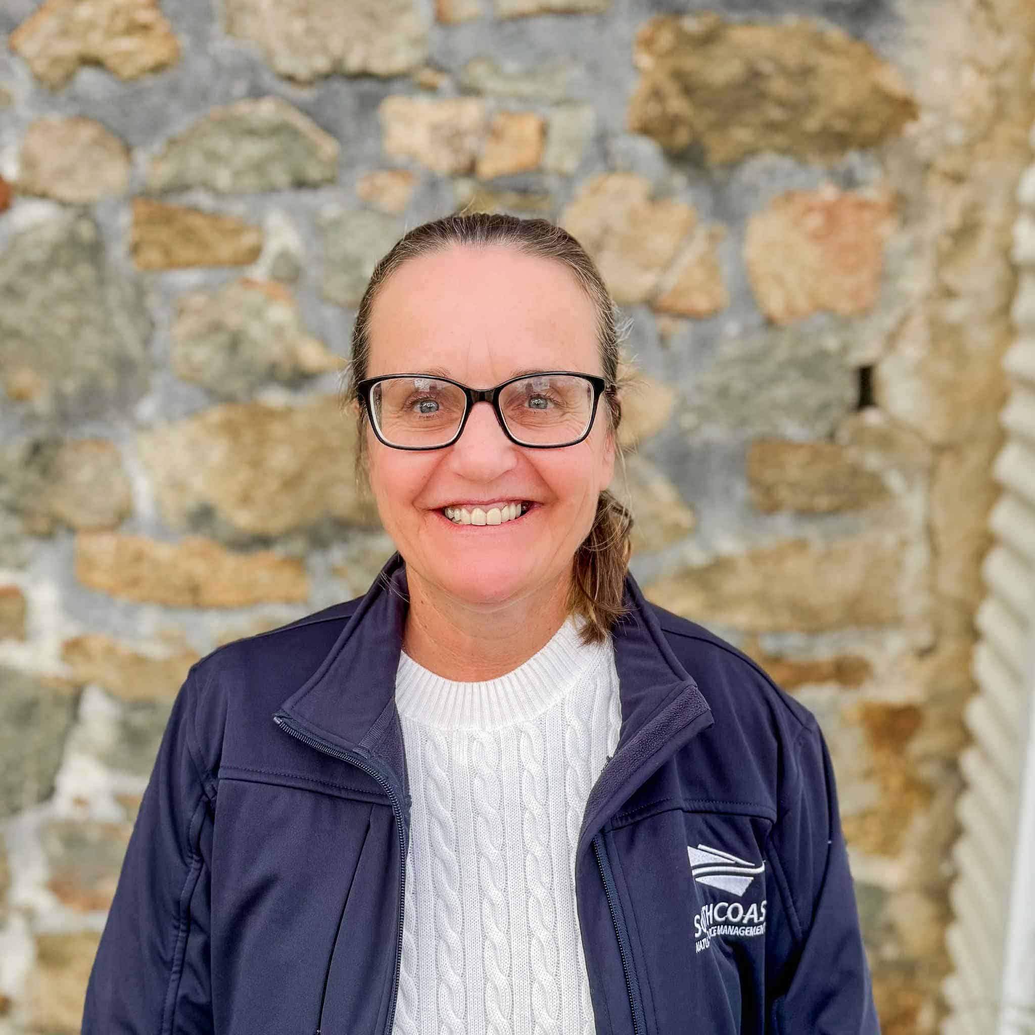
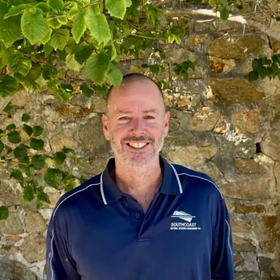
Meet the Team
Click on a team member for contact details
Meet the Board
The South Coast NRM Board of Management is skills-based and supported by committees and reference groups, allowing for an inclusive approach to community engagement and the efficient use of time, as well as technical and skilled input. The organisation recognises close working relationships with its community are essential to ongoing success.
Click on a board member for more details
Chair
Andrew has had a long association with the South Coast region. He began his 25 year career as an economics researcher with the Department of Agriculture, and subsequently worked as a consultant researcher. Andrew is a vegetable producer and lecturer with skills in recruitment, marketing, economic and financial analysis and strategic planning.
After his first project managing wind erosion on the South Coast Sandplain, Andrew was involved in a broad range of areas including new pasture species, waterlogging, dryland salinity, raised beds, improving livestock production and crop rotations.
In 2005, Andrew and his family moved to Albany after completing a project with the NSW Department of Primary Industry on holistic catchment management and the implications for dryland salinity, biodiversity, carbon sequestration and farm finances.
Being brought up in a coastal town in the North West of WA, Andrew has a strong affinity with the ocean and coastal environment, and believes careful management is necessary to retain its amenity value.
Andrew now runs a small vegetable farm, aimed at supplying a diverse range of specialist lines for local consumers and restaurants throughout the Great Southern, South West and Perth metro area. The enterprise has a strong focus on limiting the impact of farm practices on the environment, mainly through using biocontrol agents and minimising the use of chemical pesticides.
Deputy Chair
Colin is a protected area specialist with extensive experience in natural land management. He has worked with two State conservation agencies for over 40 years, holding senior leadership positions in the WA Department of Biodiversity Conservation and Attractions and its predecessors.
Colin brings experience in government administration, and policy, planning and research in the natural environment, with particular interest in the relationship between people and their use of, and interaction with, the natural environment. Colin also has a long association with the development of Aboriginal programs, including joint management, native title, Aboriginal employment and heritage management.
Director
Anne has worked in Local and State Government for over 40 years including roles as Chief Executive Officer and Executive Director of Community Development. Her experience includes community, regional and economic development in both metropolitan and regional locations across WA.
Her contribution to Local Government was recognised with a Meritorious Award and being conferred a Fellow by the Local Government Professionals Association (WA). In 2018 Anne as made a Member of the Order of Australia for contribution to gender equality.
Anne has a Bachelor of Applied Science, a Master of Business Leadership and is a qualified Company Director and Fellow of the Australian Institute of Company Directors. She is an experience non-executive director and currently also sits on the Boards of Albany Community Care.
Director
Marie is a qualified Director with extensive experience in the not-for-profit, Government, private and listed company sectors. She was formerly selected for, and completed, the Chairman’s mentor program run by the Australian Institute of Company Directors.
Marie has a passionate interest in sustainable management of resources to allow all stakeholders to operate in the community. As a native Western Australian having worked in the resources sector for much of her career, Marie has an intimate understanding of the challenges of maintaining our natural environment whilst ensuring all stakeholders benefit.
Director
John is recently retired from State Government after 35 years involvement across portfolios of Water, Agriculture and Food, and Primary Industries and Regional Development.
John brings experience in governance after being on boards of management in the not-for-profit sector (Armadale Redevelopment Authority and Engineers Australia) and more broadly across government executives. This governance experience has included financial management and budget proposals for a range of areas including digital farming, renewable energy, irrigation development, and agricultural resource management.
John’s expertise enables him to contribute national and state understanding of resource management issues and drivers within the context of a regional NRM group.
Director
Duncan has broad experience in financial matters, having worked mainly in corporate finance for over 20 years doing business valuations, due diligence, feasibility studies, and business plans. Duncan has also worked in a financial mentoring role, assisting Indigenous businesses getting established, mainly in the Pilbara region. He is a graduate of the Australian Institute of Company Directors.
Duncan gained experience working as a Chief Financial Officer of a small public company for two years. This provided him with broad insight into the operational matters of an entity, from addressing human resource matters through to Board reporting and regulatory and compliance matters.
Duncan has been on the Board of the Autism Association of WA for many years, a not for profit organisation with revenue in excess of $65m. Duncan was also one of the independent directors on the Board of Esperance Tjaltjraak Native Title Aboriginal Corporation for two years, ending in 2018.
Over the last 15 years, Duncan has undertaken numerous projects with Indigenous businesses throughout Western Australia. Some of this work was funded by industry (BHP, Chevron and Roy Hill) and some by Government agencies such as Indigenous Business Australia. These businesses operated in a wide-range of industries such as tourism, retail, mining services, transport, agriculture and hospitality.
Director
Lenore has had a successful career as a senior manager in the not-for-profit, private and education sectors, specialising in strategic planning and business and product development. She began her career in the university sector as a social researcher specialising in gender and transnational labour migration in East and Southeast Asia and has lived and worked extensively across the Asia-Pacific.
Moving to the South Coast in 2006, Lenore and her husband established a successful ecotourism business showcasing the region’s unique biodiversity and heritage. Winning numerous awards at the local, state and national level, that business was inducted into the Western Australian Tourism Hall of Fame for Ecotourism in 2015.
In 2017, Lenore was appointed Project Director and then CEO of the Great Southern Centre for Outdoor Recreation Excellence (GSCORE, now Outdoors Great Southern). She currently works as a consultant helping tourism businesses and destination marketing organisations to build capacity and grow the nature-based, trails and adventure tourism market.
Lenore has served on the Board of Directors of numerous professional associations, state peak bodies, and regional associations, including Australia’s South West, Outdoors WA, Trails WA, and the Munda Biddi Trail Foundation.
A passionate advocate of sustainable and responsible travel, Lenore has a strong interest in environmental education and regenerative tourism.
Director
David is an experienced lawyer, having worked across the not-for-profit, Government and private sectors, with particular experience in advising on native title, heritage and environment legal matters. He currently works as an in-house lawyer for a global resources company. David holds a Bachelor of Laws and Bachelor of Arts (Communications) from the University of Western Australia.
As a keen lover of the ocean and nature, and having recently moved to the South Coast in 2023, David has come to learn and appreciate the region’s unique standing as a biodiversity and cultural heritage hotspot. David is passionate about protecting and enhancing the region’s natural values for future generations to enjoy.

