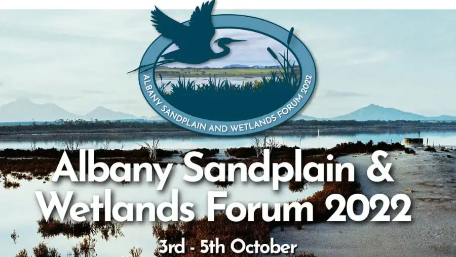
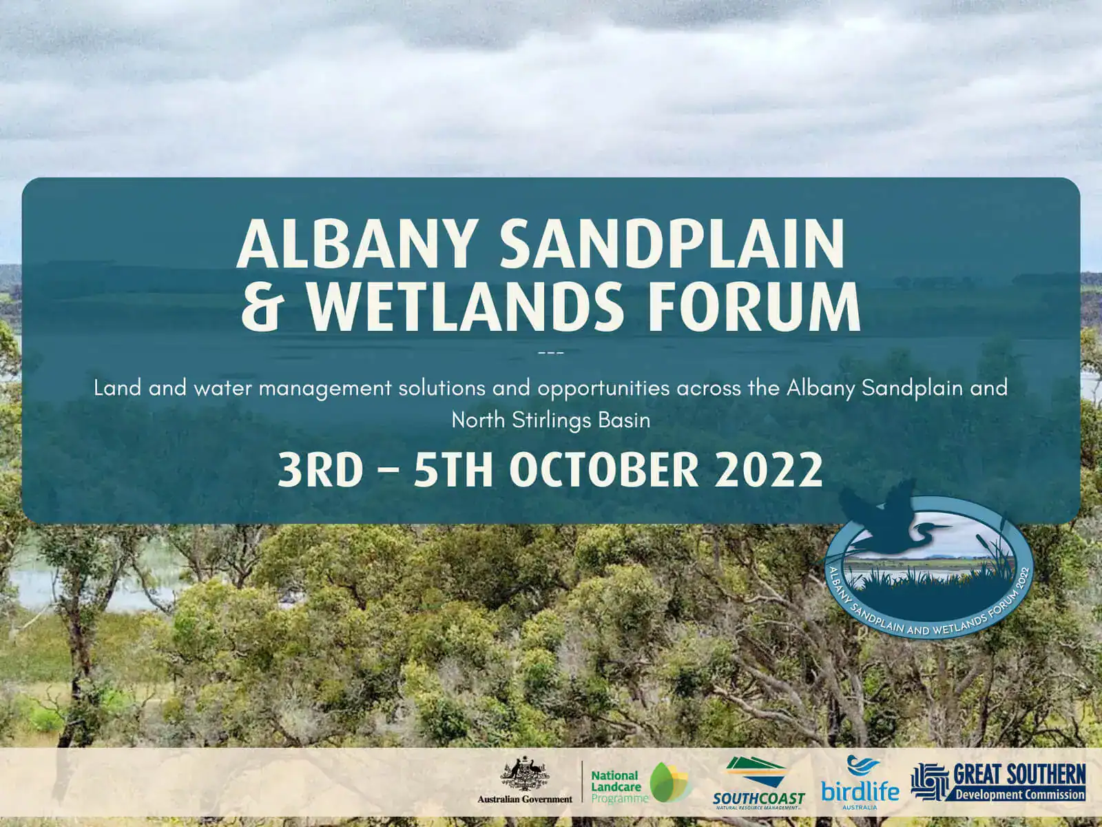
ALBANY SANDPLAIN AND WETLANDS FORUM 2022

Held in Albany from the 3rd – 5th October, the Forum successfully attracted an audience with a broad range of skills, experience and perspectives. It fostered knowledge growth, enabled information exchange and provided opportunities for collaboration. The forum highlighted a unique and fragile landscape of the South Coast region. South Coast NRM are very grateful to those who attended and shared their knowledge and experiences.

A playlist of the Forum has been developed and can be watched on our YouTube platform, or you can scroll through and watch the full range of presentations below.

BACKGROUND TO THE ALBANY SANDPLAIN AND WETLANDS FORUM

The soils, landforms and geology of the area between Albany, Tambellup and Bremer Bay are different from that the Walpole Wilderness to the west, the Wheatbelt to the north and the Fitzgerald Biosphere to the east.

The area was inundated by the Southern Ocean about 50 million years ago after Antarctica broke away from Australia. Sandy aquifers formed in palaeochannels and provide fresh water for towns as well as a potential water source for mining and agricultural industries.

Rising brackish to saline groundwater levels threaten perched freshwater lakes which are a feature of the southern half of the area. Highly saline lakes immediately south and north of the Stirling Ranges have a different range of values for wildlife.

Flat, sandy soils cover most of the area. These are prone to waterlogging and inundation is wet years, and wind erosion in droughts. How best to manage them to maximise crop and livestock production while minimising degradation is still being developed.

The area has a rich history of indigenous land use and areas are vested in native title as well as for nature conservation.   

The Forum was unusual in that it commissioned experts in specific areas to review what was known and what further needs to be investigated. It was complemented by a series of workshops to put these findings into a broader context.

HIGHLIGHTS OF THE FORUM

Dive into the systems, threats and opportunities of a unique and highly valued landscape across the South Coast. Hear from experts with decades of data and research, on ground action and now, emerging technologies that will shape the way we view best practice wetland conservation management.

INTERNALLY DRAINED CATCHMENTS USING DIGITAL TERRAIN MODELLING

This presentation explores surface water trends and drainage patterns across the Albany Sandplain. 

PAST CLIMATE TRENDS AND FUTURE PROJECTIONS

This presentation observes the changes in climate experienced across the South Coast and likely changes into the future. 

HYDROGEOLOGY OF THE ALBANY SANDPLAIN

This presentation delves into the geological history of the Albany Sandplain and its aquifers, the wetland types across the sandplain and the groundwater chemistry. 

GROUNDWATER RESOURCES ASSOCIATED WITH PALEOCHANNELS

This presentation identifies paleochannels existing across the Albany Sandplain with prospective water resources and how they might be used for mining and town water supplies. 

CHANGES IN PERENNIAL VEGETATION EXTENT & VIGOUR

This presentation explores the perennial vegetation trends across the Albany Sandplain from 1990 until current day and the tools available to access these datasets. 

CROP YIELD MAPPING USING REMOTE SENSING

This presentation shares the Graincast crop monitoring technology developed by the Commonwealth Scientific and Industrial Research Organisation (CSIRO) to identify yield trends using Geographical Information Systems (GIS) software. 

RURAL WATER SUPPLY PLANNING

This presentation studies the need to better prepare for future dry periods on farm and assess the work conducted by the Department of Water and Environmental Regulation (DWER) to promote emergency water planning. 

WATER SMART FARMS PROJECT

This presentation examines the Water Smart Farms project with the Southwest WA Drought Hub and Grower Group Alliance. 

SURFACE WATER MANAGEMENT

This presentation reviews the principles that define best practice surface water management for agricultural properties, and the importance of well informed, safe water management. 

DRYLAND SALINITY TRENDS AND FUTURE HAZARDS

This presentation reviews recent updates to the Land Monitor State-Wide Salinity Extent Map, assessing groundwater level trends and evaluating the future salinity hazard. 

ALBANY SANDPLAIN & WETLANDS FORUM 2022 - PANEL DISCUSSION

The panel discussion covers questions from the following presentations:

1. Internally Drained Catchments Using Digital Terrain Modelling

2. Past Climate Trends and Future Projections

3. Hydrogeology of the Albany Sandplain

4. Groundwater Resources Associated with Paleochannels

5. Crop Yield Mapping Using Remote Sensing

6. Surface Water Management

INDIGENOUS USE OF WETLANDS

This presentation explores the cultural values associated with wetlands and water resources across the Albany Sandplain and the traditional uses for these places in Noongar culture and society. 

WAGYL KAIP AND IT'S BENEFITS FOR JOINT MANAGEMENT

This presentation considers the Native Title Legislation Amendment Act 2021 and its impact on joint management for the region.

    FLORA AND FAUNA USE OF WETLANDS AND VEGETATED AREAS ON PUBLIC LAND PART 1

    This presentation presents the flora and fauna associated with wetlands across the Albany Sandplain and future threats to these communities and wetlands. 

    FLORA AND FAUNA USE OF WETLANDS AND VEGETATED AREAS ON PUBLIC LAND PART 2

    This presentation explores the flora and fauna associated with wetlands across the Albany Sandplain and the future threats to these communities and wetlands. 

      HOW DO BIRDS USE THE ALBANY SANDPLAIN WETLANDS?

      This presentation reviews the rare and endangered bird species that use wetlands across the Albany Sandplain and their trends over time. 

      WATERBIRD MONITORING IN AUSTRALIA: LET THE DATA FLOW

      This presentation reviews critical data of waterbirds across Eastern Australia, whilst reviewing the necessity for data collection and communication to understand how valuable species are interacting with their environment. 

        WATER SMART REGIONS

        This presentation explores the opportunities for business development across the Albany Sandplain by sustainably utilising the groundwater resources across the landscape. 

        THE POTENTIAL FOR DEVELOPING NEW GROUNDWATER RESOURCES

        This presentation assesses the potential for new drinking water supplies, agricultural industries and desalinization across the sandplain. 

          FINANCIAL AND OTHER INCENTIVES TO MANAGE CATCHMENTS AND THEIR WETLANDS

          This presentation explores incentives for better management of private land, including financial and the role of government to achieve social outcomes. 

          THE ROLE OF NON-GOVERNMENT ORGANISATIONS ON PRIVATE LAND

          This presentation explores how non-government organisations work with growers and catchment groups, and the key issues they face in managing catchments and their wetlands.

          CATCHMENT GROUP MANAGEMENT OF PRIVATE LAND

          This presentation introduces the on-ground practitioners working with landholders and community to achieve catchment scale outcomes, and the key issues they face in managing catchments and their wetlands.