Celebrating Community Success: Right Whale Tracker Regional Forums 2025
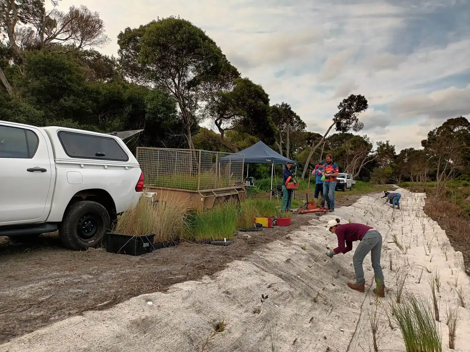
Planting is a wrap at Yakanup
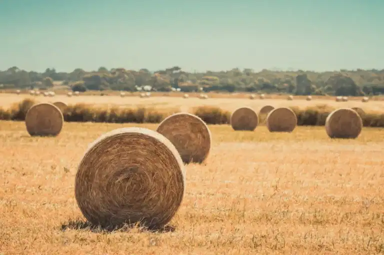
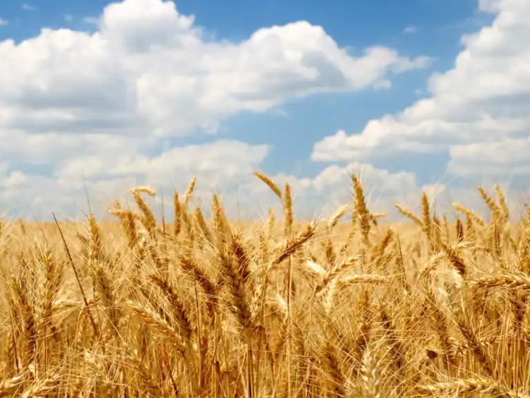
Preserving fodder, for on-farm climate variability resilience
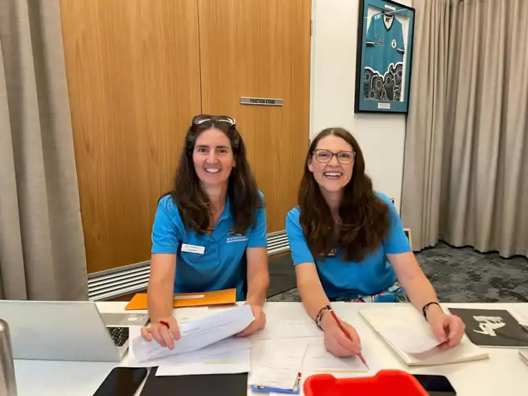
Exciting times as Emma Sommerville joins the South Coast NRM team
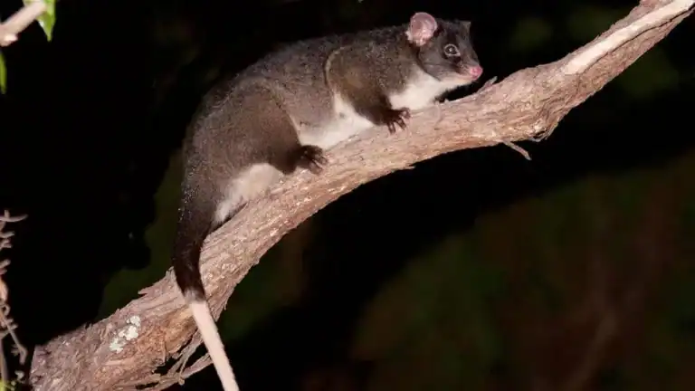
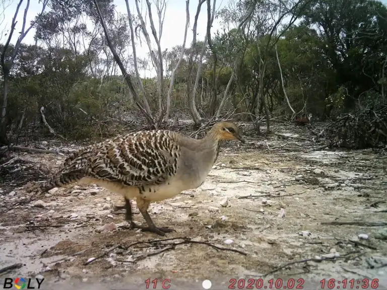
Fitz-Stirling Fauna Recovery Project success
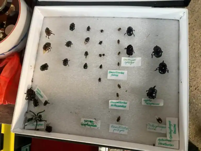
Dung beetle basics – “build your herd!”
We welcome Victoria Bennett to the South Coast NRM team
Caring for Sea Country must not trigger a tide of racism
Enviro-Experience volunteer quiz night a resounding success
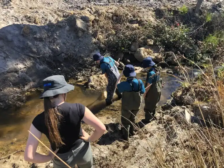
Students learn about managing urban waterways at Yakamia Creek
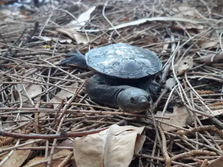
Incredible achievements from turtle tracking enviro volunteers
Thank A Volunteer Day sparks interest in environmental volunteering